
Contributed by Jonathan Metzelaar, ZenaDrone Inc.
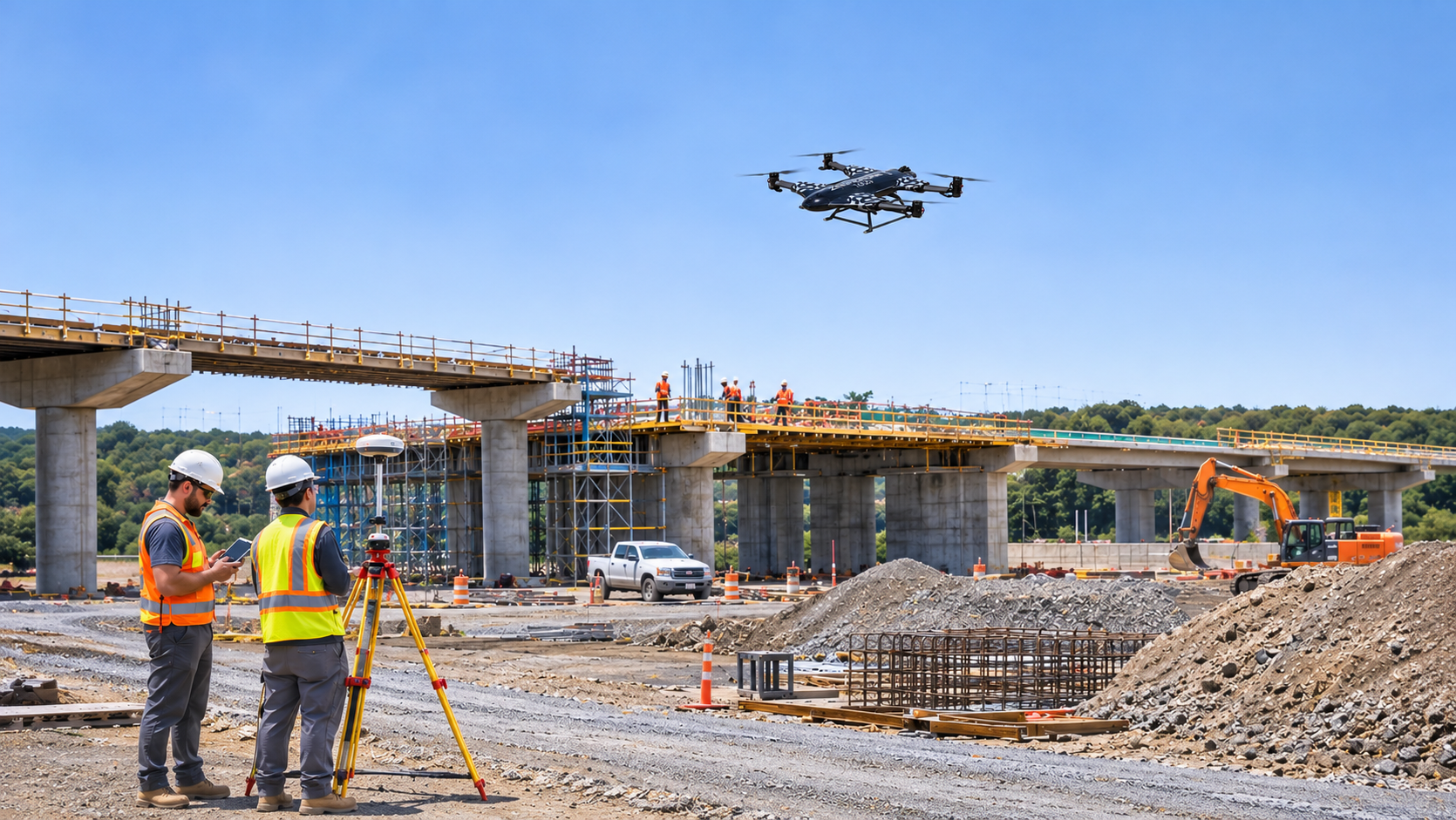
Illustrative image: Commercial UAV supporting an industrial construction-site survey.
A drone can photograph an industrial facility in minutes. Turning those photographs into reliable inspection records, maintenance decisions, or engineering measurements is a much more demanding task.
That distinction helps explain where commercial drone adoption is creating practical value. Organizations are increasingly evaluating unmanned aircraft systems (UAS) not simply by their flight capabilities, but by whether they can perform a defined task safely, repeatedly, and at a reasonable operational cost.
In agriculture, construction, energy, security, and logistics, commercial UAV technology offers different advantages. Some applications benefit from rapid aerial observation. Others depend on precise measurements, specialized sensors, or the ability to reach locations that are difficult to inspect from the ground.
The strongest business case emerges when the aircraft becomes part of a dependable operational workflow rather than a standalone technology demonstration.
Commercial Drone Adoption Is Moving Beyond Experimental Use
A successful demonstration flight does not necessarily establish a viable commercial drone program.
During an initial trial, an organization might use a drone to photograph a construction site or inspect a section of electrical infrastructure. The results may look promising, but recurring operations introduce additional requirements: trained personnel, aircraft maintenance, repeatable data collection, regulatory compliance, and consistent reporting.
A mature program must answer questions that a demonstration rarely addresses. Can the aircraft complete the same mission under changing environmental conditions? Will the collected information be compatible with existing software? Can another qualified operator reproduce the results? How much time passes between the flight and delivery of usable information?
These questions become especially important when organizations expand from individual missions to multiple locations or fleets.
Across the different industries using drone technology, operational value depends less on the novelty of aerial imagery than on how effectively the information supports established business processes.
Agriculture: From Aerial Observation to Practical Field Decisions
Agricultural drones can help growers observe field conditions that are difficult to assess consistently from ground level.
RGB cameras provide visual records of crop development, drainage patterns, and visible field damage. Multispectral sensors capture information across selected wavelength bands, supporting vegetation analysis and the identification of areas that may warrant closer investigation.
For example, a grower might use repeatable aerial surveys to identify sections of a field showing unusual vegetation patterns. Agronomists can then compare those observations with irrigation records, soil conditions, pest activity, or field inspections.
The practical benefit is not that a drone diagnoses every agricultural problem. Rather, aerial information can help direct attention toward locations requiring further assessment.
USDA research has examined the use of remote sensing and precision agriculture technologies to support agricultural management. However, the usefulness of UAV-derived information depends on the crop, sensor characteristics, acquisition conditions, and analytical methods.
Weather introduces additional limitations. Wind can prevent flights, while inconsistent illumination can complicate image comparisons. Multispectral data may require radiometric calibration, and vegetation indices do not independently establish the cause of crop stress.
Field size also matters. For large agricultural areas, satellite imagery or crewed aircraft may provide more economical coverage. UAVs can be particularly useful when operators need higher spatial detail, flexible scheduling, or targeted observation.
Agricultural spraying introduces further requirements involving aircraft configuration, chemical application rules, operational authorization, and environmental safeguards.
Construction: Improving Site Visibility and Progress Monitoring
Construction projects frequently require updated information about changing ground conditions, material movement, and work progress.
Drones equipped with appropriate imaging and positioning systems can collect overlapping photographs for photogrammetric processing. The resulting datasets may support orthomosaics, digital surface models, and three-dimensional representations of a construction site.
These outputs can help project teams document excavation progress, examine stockpile changes, identify visible site constraints, and compare conditions across different reporting periods.
A particularly useful application is repeatable site documentation. When flight plans, image overlap, camera settings, and survey controls are managed consistently, construction teams can compare datasets collected at different stages of a project.
Accuracy, however, requires careful attention.
A visually convincing three-dimensional model is not automatically suitable for engineering measurements. Ground control points, positioning methods, camera calibration, processing settings, and independent accuracy checks influence whether the resulting data meets project requirements.
Real-time kinematic (RTK) positioning can improve image georeferencing, but it does not eliminate the need to validate the final product.
Construction managers must also consider practical site hazards. Cranes, temporary structures, moving machinery, dust, and restricted operating areas can complicate flight planning.
The greatest benefit comes when aerial measurements and visual records enter existing surveying, engineering, and project-management systems rather than remaining isolated image files.
Energy and Infrastructure: Supporting Inspection Workflows
Infrastructure inspection is one of the more compelling industrial UAV applications because the work often involves difficult access, elevated structures, or potentially hazardous environments.
Electric utilities can use drones to collect visual information about transmission structures, insulators, conductors, and associated equipment. Solar operators may use appropriately configured thermal imaging systems to investigate temperature anomalies across photovoltaic installations. Wind energy operators can obtain detailed images of turbine surfaces without relying exclusively on conventional close-access methods.
For industrial facilities, drones can provide an additional observation method for structures that are difficult to examine from accessible ground positions.
The safety benefit is application-specific. A UAV may reduce the need for some climbing, elevated work platforms, or close physical access during preliminary inspections. It does not eliminate the need for qualified personnel or hands-on maintenance.
Sensor selection is equally important. A standard RGB camera can document visible defects, while a radiometric thermal camera may help identify abnormal temperature patterns under suitable operating conditions.
Thermal findings require careful interpretation. Emissivity, viewing angle, reflected radiation, ambient conditions, and equipment loading can influence the apparent temperature of an asset.
A temperature difference alone does not establish an electrical fault.
Inspection programs therefore need qualified analysts, appropriate procedures, and a method for escalating observations into maintenance decisions.
For organizations responsible for geographically dispersed assets, the strongest operational value may come from prioritizing physical inspections rather than attempting to replace them entirely.
Security and Public Safety: Extending Situational Awareness
Aerial observation can provide useful context during security incidents, emergency assessments, and remote-site monitoring.
At an industrial facility, a drone may help authorized personnel inspect a perimeter after an alarm or assess an area that is difficult to observe from fixed cameras. During an emergency, aerial imagery can help responders understand access routes, visible hazards, and the surrounding environment.
Public safety agencies have also used UAS for incident documentation, search operations, and situational awareness.
These applications require careful operational controls. Aircraft must be operated within applicable aviation rules, and organizations must account for privacy expectations, data retention, cybersecurity, and the possibility of observing people or property unrelated to the mission.
Thermal cameras can provide useful contrast under certain conditions, but they cannot reliably identify every hazard or determine intent. Automated detection systems can also produce false positives and missed detections.
Human review remains important, particularly when aerial observations may influence consequential decisions.
Logistics: Where Drone Delivery Is Practical and Where It Remains Limited
Drone delivery receives substantial attention, but its commercial value depends heavily on the delivery environment.
Potentially suitable missions include transporting small, time-sensitive items between defined locations, moving supplies to remote sites, and supporting specialized medical or industrial logistics.
In these situations, a direct aerial route may offer operational advantages where ground transportation is slow, unreliable, or difficult.
However, commercial delivery introduces constraints that are less significant during ordinary aerial photography.
Payload mass affects aircraft endurance. Wind, precipitation, temperature, and battery condition influence mission reliability. Delivery locations require suitable launch, landing, or transfer arrangements. Operators must also manage airspace restrictions, communications, maintenance, and contingencies.
Beyond visual line of sight (BVLOS) operations present additional regulatory and safety considerations.
In the United States, commercial drone delivery operations may involve FAA approvals and, depending on the operational model, air carrier certification requirements. An ordinary Part 107 authorization does not automatically permit every delivery concept.
Drone delivery is therefore best evaluated route by route and mission by mission.
A service that performs well between two controlled facilities may not be economically or operationally suitable for widespread residential delivery.
The Challenges Behind Successful Commercial Drone Deployment
Aircraft capability is only one component of a commercial UAS program.
Regulatory compliance remains fundamental. In the United States, many commercial small-drone operations fall under FAA Part 107, which establishes requirements for remote pilots, aircraft operations, and applicable limitations. Certain activities require additional authorization or waivers, and other regulatory frameworks may apply to specialized operations.
Organizations also need documented maintenance practices, battery management procedures, operator training, and appropriate insurance arrangements.
Data management creates another layer of complexity.
An inspection flight may produce hundreds or thousands of images. Those files must be transferred, processed, reviewed, stored, and connected to the systems used by engineers or operational managers.
Cybersecurity deserves attention wherever aircraft, ground control stations, cloud services, and enterprise networks exchange operational information. Organizations should evaluate access controls, software maintenance, data ownership, retention policies, and vendor dependencies.
Environmental limitations cannot be solved through software alone. Weather restrictions, electromagnetic interference, GNSS limitations, and site-specific obstacles can reduce the number of days or locations where operations are practical.
These factors help explain why a technically successful flight may still fail to produce a commercially sustainable service.
Evaluating the Business Value of Commercial UAV Operations
Organizations should compare drone-based methods with the alternatives they already use.
The comparison should consider the complete workflow, from mission preparation through delivery of usable information.
| Evaluation factor | Practical question |
|---|---|
| Operational cost | What are the combined costs of equipment, personnel, maintenance, software, and insurance? |
| Data quality | Does the output meet the accuracy, resolution, and repeatability requirements? |
| Safety | Which personnel exposures can realistically be reduced? |
| Reliability | How often can missions be completed under actual site conditions? |
| Processing time | How quickly can collected data become actionable information? |
| Regulatory feasibility | Can the intended operation be conducted under applicable authorizations? |
| Integration | Can the output be used within existing business systems? |
A meaningful assessment should also account for unsuccessful flights, weather-related delays, rework, equipment downtime, and the cost of maintaining qualified personnel.
For an infrastructure inspection program, the relevant outcome may be the number of actionable defects identified and properly assessed. For construction, it may be the consistency of progress documentation or the accuracy of earthwork measurements. For agriculture, it may be whether aerial observations improve the targeting of field investigations.
These measures are more informative than flight hours or the number of photographs collected.
A limited pilot program can help establish a baseline against conventional methods. Organizations can then evaluate whether recurring UAV operations produce sufficiently reliable benefits to justify broader deployment.
Conclusion
Commercial drone adoption delivers practical value when unmanned aircraft address a clearly defined operational problem.
Agriculture benefits from targeted field observation. Construction teams can use repeatable aerial documentation to support project oversight. Infrastructure operators gain another method for examining difficult-to-access assets. Security and public safety organizations can extend situational awareness, while specialized logistics operations may benefit from direct aerial transport.
None of these applications guarantees lower costs, improved safety, or better decisions simply because a drone is involved.
The determining factors are mission suitability, data quality, regulatory readiness, operational reliability, and the ability to integrate results into established workflows.
For the commercial drone industry, the more meaningful measure of progress is not how many aircraft organizations acquire, but how consistently those aircraft produce information or services that justify their operational cost.
Research References
FAA — Small Unmanned Aircraft Systems Regulations (Part 107)
https://www.faa.gov/newsroom/small-unmanned-aircraft-systems-uas-regulations-part-107
FAA — Advanced Operations
https://www.faa.gov/uas/advanced_operations
FAA — Package Delivery by Drone (Part 135)
https://www.faa.gov/uas/advanced_operations/package_delivery_drone
FAA — Package Delivery Under Part 107 FAQ
https://www.faa.gov/faq/package-delivery-allowed-under-small-uas-rule-part-107
USGS — Guidelines for Calibration of Uncrewed Aircraft Systems Imagery
https://pubs.usgs.gov/publication/ofr20231033
FAA — Aerospace Forecast FY 2025–2045, UAS and AAM
https://www.faa.gov/data_research/aviation/aerospace_forecasts/2025-uas-and-aam-full-document.pdf